A drill rig sits on a residential lot in Chandler, its auger spinning through the upper alluvial sands before hitting a stiff clay layer at 12 feet. That clay is the reason geotechnical drainage design in Chandler matters so much. The team logs soil types, measures infiltration rates with a double-ring infiltrometer, and collects undisturbed samples for permeability testing. Every borehole tells a story about how water moves — or doesn't move — through the subsurface. In Chandler's arid climate, designers often assume drainage is straightforward, but monsoon events and shallow perched water tables complicate things quickly. Before laying out any surface or subsurface drain system, we run permeability field tests to confirm hydraulic conductivity values.
Monsoon storms in Chandler drop 2 inches in an hour, and layered alluvial soils turn that water into a lateral flow hazard beneath foundations.
Methodology and scope
Local considerations
Chandler's soils are predominantly classified as SM (silty sands) and CL (lean clays) per ASTM D2487, with plasticity indices ranging from 15 to 30. These clays are moderately expansive — they swell when wet and shrink when dry. A foundation built without proper geotechnical drainage design in Chandler can experience differential heave of up to 2 inches after a wet monsoon. The risk is especially high near the Gila River alluvial plain, where clay layers are thicker and groundwater fluctuates seasonally. Without perimeter drains and vapor barriers, slab-on-grade foundations crack, garage floors lift, and interior walls develop drywall fractures. The structural repair costs quickly exceed the initial drainage investment.
Applicable standards
IBC 2021 Section 1805 (Foundation Drainage), ASCE 7-22 Chapter 26 (Rain Loads and Drainage), ASTM D5092-21 (Standard Practice for Design and Installation of Groundwater Monitoring Wells)
Associated technical services
Surface Drainage Design
Layout of graded swales, curb inlets, and retention basins sized for 10-year storm events per Chandler municipal code. We model runoff using SCS curve numbers calibrated to local soil infiltration rates.
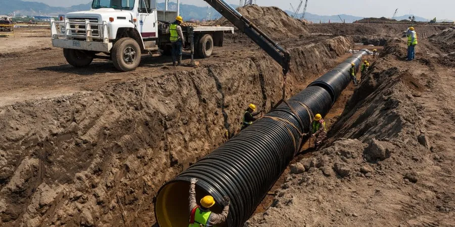
Subsurface Drainage Systems
Design of perimeter trench drains, French drains, and sub-slab vapor barriers to intercept lateral seepage and prevent hydrostatic uplift on foundations. Filter fabric and gravel specifications follow ASTM D4751.
Dewatering and Groundwater Control
Temporary and permanent dewatering plans for excavations deeper than 8 feet, including wellpoint systems, sump pumps, and discharge permits under Arizona Department of Water Resources guidelines.
Typical parameters
Frequently asked questions
Why is geotechnical drainage design important in Chandler?
Chandler's clay-rich soils expand when wet, and monsoon storms produce intense runoff. Poor drainage leads to foundation heave, slab cracking, and basement water intrusion. Proper design manages both surface water and subsurface seepage to protect structures.
What codes govern drainage design in Chandler?
IBC 2021 Section 1805 covers foundation drainage, ASCE 7-22 provides rain load criteria, and Chandler municipal code specifies stormwater retention requirements for new developments. We incorporate all three in every design.
How much does geotechnical drainage design cost in Chandler?
Typical design fees range from US$820 to US$2,240 depending on site size, complexity of soil conditions, and the number of drainage elements (trench drains, retention basins, dewatering plans).
How long does a drainage design project take?
Site investigation and soil testing take 1-2 weeks, followed by 1-2 weeks for design and report preparation. Complex multi-lot subdivisions may require 4-6 weeks total due to additional modeling and permitting.