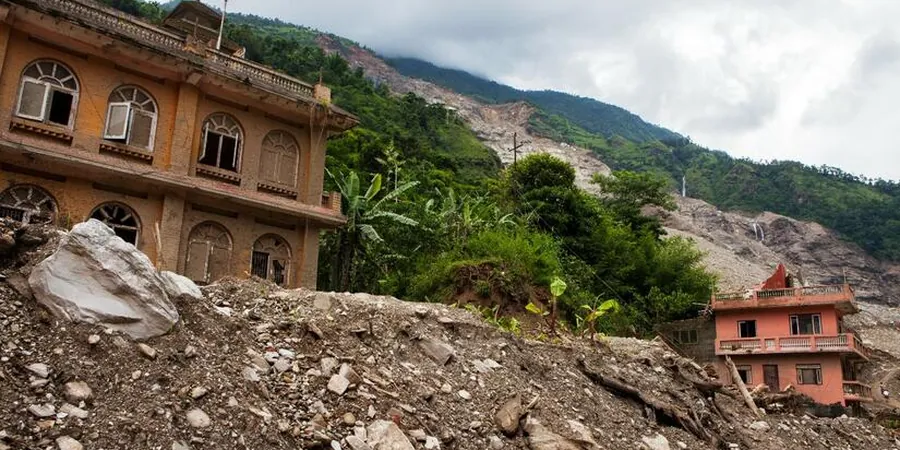
Chandler sits on the Sonoran Desert alluvial plain, where the subsurface consists of interbedded sands, silts, and gravels deposited by ancient river systems. The water table typically sits over 100 feet deep, which reduces pore pressure risks but does not eliminate slope instability. Seasonal monsoon rains can saturate near-surface soils, triggering shallow translational slides along clay-rich layers. For residential subdivisions expanding south of the 202 loop, the team combines field reconnaissance with resistivity surveys to map stratigraphic contacts and perched water zones before any grading begins. This layered approach ensures the landslide assessment captures the real failure mechanisms in Chandler's arid environment.
Monsoon infiltration into desiccated clay seams can reduce shear strength by 40% in Chandler's alluvial slopes within 24 hours.
Methodology and scope
Local considerations
The difference between a stable slope in Ocotillo and a failing one near the Gila River Indian Community often comes down to a single clay lens. In the southeast quadrant of Chandler, calcareous cemented layers (caliche) cap the surface, creating a false sense of stability. Below them, silty clay beds from ancient floodplain deposits can lose cohesion rapidly when wet. A developer who clears vegetation and cuts into the toe without a proper landslide assessment may see slumping within one monsoon season. The team has documented cases where the factor of safety dropped from 1.6 to 0.9 after 72 hours of continuous rainfall on a 3:1 slope. For slopes fronting the Price Road corridor, erosion control combined with subsurface drainage is often the difference between a passing and failing review by the city's engineering department.
Applicable standards
ASTM D3080 (Direct Shear), ASTM D4318 (Atterberg Limits), ASTM D422 (Sieve Analysis), ASCE 7-22 (Seismic Loads), IBC 2021 (Chapter 18)
Associated technical services
Geomorphic Mapping and Reconnaissance
Field-based identification of landslide hazards using aerial imagery interpretation, LIDAR-derived topography, and on-site verification of scarps, tension cracks, and displaced infrastructure. Deliverables include hazard zonation maps and preliminary risk ratings for each slope segment.
Subsurface Investigation and Sampling
Test pits and borings to depths of 15 to 40 feet, targeting clay seams and colluvial deposits. Standard penetration testing (SPT) per ASTM D1586 is performed where deeper refusal layers are encountered, and undisturbed tube samples are taken for laboratory shear strength testing.
Stability Analysis and Mitigation Design
Limit-equilibrium and finite-element slope stability modeling using SLIDE or PLAXIS 2D. Parametric studies evaluate sensitivity to groundwater fluctuation, seismic acceleration, and vegetation removal. Recommended measures include drainage berms, soil nailing, or retaining walls depending on the site-specific conditions.
Typical parameters
Frequently asked questions
What does a landslide assessment cost in Chandler, AZ?
A typical landslide assessment for a single-family lot or small development site in Chandler ranges from US$1,060 to US$3,260 depending on slope height, accessibility, and the number of borings or test pits required. Larger subdivisions with multiple slope faces may fall at the upper end of that range.
Is a landslide assessment required by the City of Chandler for new construction?
Chandler's grading ordinance requires a geotechnical report for any development involving cut or fill slopes steeper than 3:1 or exceeding 10 feet in vertical height. The landslide assessment component must demonstrate a minimum factor of safety of 1.5 under static conditions and 1.1 under seismic loading using ASCE 7-22 ground motion parameters.
How long does a landslide assessment take in Chandler?
A standard assessment covering field mapping, test pits, laboratory testing, and stability modeling typically takes 3 to 5 weeks. If the site has complex geology — such as multiple clay seams or evidence of prior movement — the timeline may extend to 7 weeks to allow for additional instrumentation monitoring or supplemental borings.